The Annapurna Circuit used to take five or six weeks. Porters carried everything, tea houses were basic wooden rooms with no insulation, and you might not see another foreign trekker for days at a time. A lot has changed. The circuit is now a polished, well-serviced trail with hot showers, WiFi, and chocolate cake at altitude. But the mountains have not changed at all — and neither has the feeling of crossing Thorong La Pass at dawn with a 270-degree panorama of the Himalaya on all sides and nowhere to look that isn’t extraordinary.
The route in plain terms
The classic circuit starts in Besisahar (820m) and ends in Nayapul near Pokhara, looping around the entire Annapurna Massif. The highest point is Thorong La Pass at 5,416m. Total trekking distance is around 160 to 230km depending on which sections you walk versus drive (a road now follows part of the original route).
Most people take 14 to 21 days for the full circuit. A shorter version focusing on the high passes and the Mustang side valley takes 10 to 14 days. If you only have a week, the Annapurna Base Camp (ABC) route is the better option — a completely separate trail through the Modi Khola valley that brings you to the floor of the Annapurna Sanctuary at 4,130m.
The climb to Thorong La
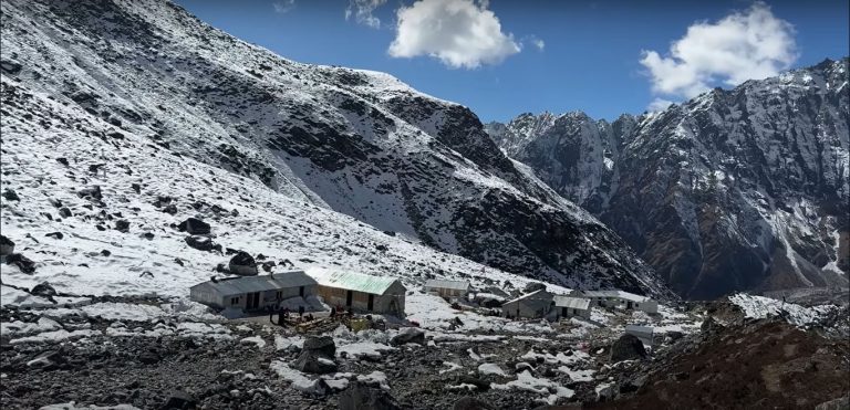
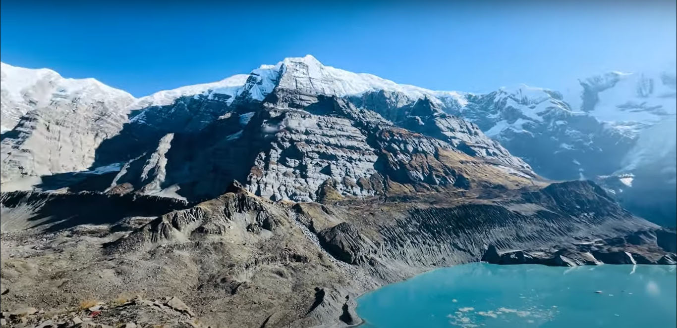
Thorong La is the pivot point of the whole trip — the high pass that separates the green, forested eastern side of the circuit from the dry, Tibetan-influenced western side. You acclimatise in Manang (3,519m) for at least two nights before the crossing, spending a day hiking to Gangapurna Lake or Ice Lake for height gain. The lodge food in Manang is some of the best on the entire trail: the bakeries do brown bread, apple pie and good coffee, and there’s a surprisingly well-stocked bar.
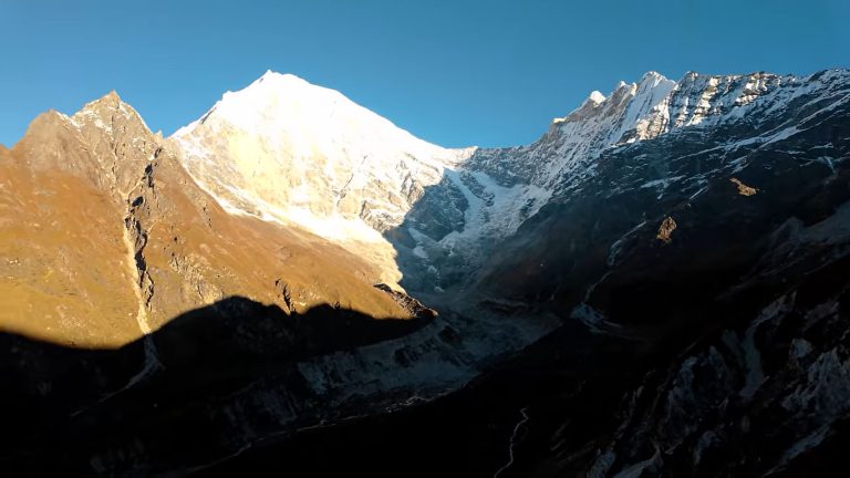
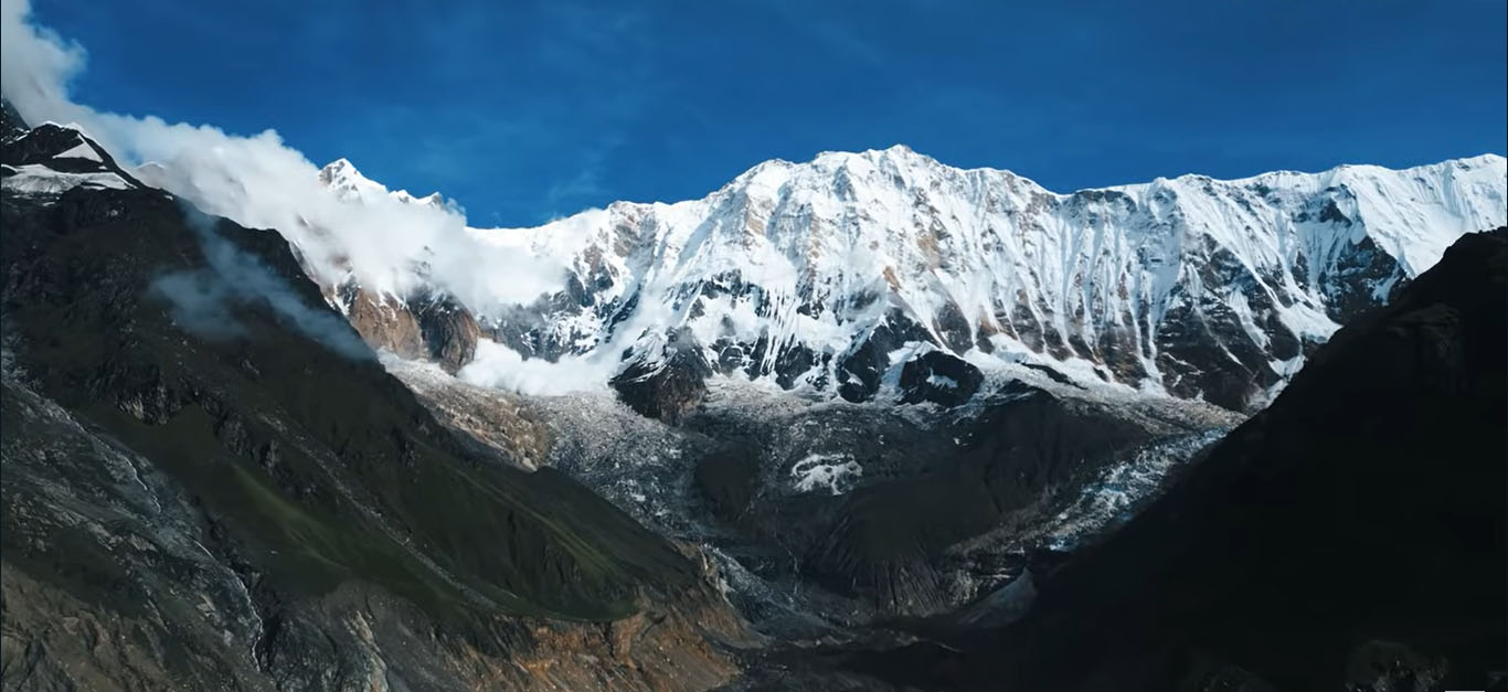
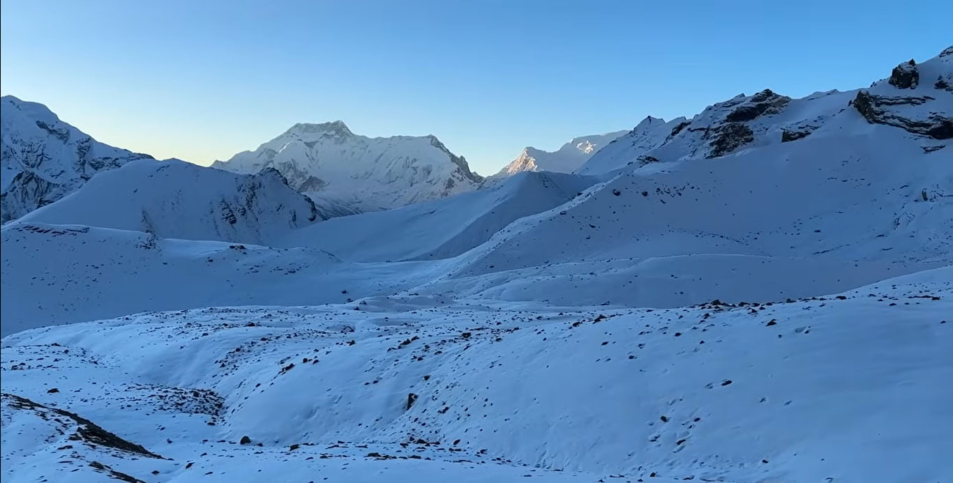
The pass crossing starts before dawn. Most trekkers leave High Camp (4,850m) between 3 and 5 a.m. to avoid afternoon winds that make the final section miserable. The ascent from High Camp to the pass takes three to five hours depending on fitness and acclimatisation. It is not technical — just very slow, very cold, and very much at altitude. The summit of Thorong La is marked by prayer flags and a sign. On a clear day you can see into Tibet.
Muktinath and the Mustang side
The descent from Thorong La ends at Muktinath (3,800m), one of the most sacred pilgrimage sites in Nepal. The temple complex there — dedicated to Vishnu and featuring 108 water spouts, a natural gas flame and a Buddhist monastery — draws Hindu and Buddhist pilgrims from across South Asia. It is a very different kind of place from what you’ve been walking through: less hiker-centric, more genuinely holy.
Below Muktinath, the landscape flips completely. The lush forest you walked through to get here gives way to eroded canyon walls, white-walled Mustang villages, and a sky that seems bigger somehow. The town of Marpha is famous for its apple orchards and apple brandy — the locally distilled version is rough but drinkable and very warming on a cold evening. Jomsom, a larger town further down the valley, has an airport with daily flights back to Pokhara if the walk out holds no appeal.

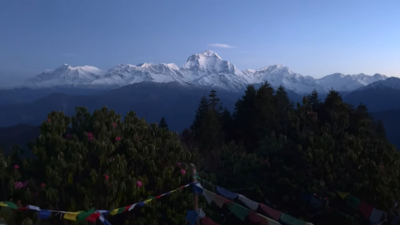
Poon Hill: worth the extra two days
The Ghorepani-Poon Hill section sits at the southern end of the Annapurna region and is technically a separate route, but most circuit trekkers either start or end their trip through it. The viewpoint at Poon Hill (3,210m) gives one of Nepal’s most photographed sunrise panoramas: Dhaulagiri, Annapurna South, Machhapuchchhre, Hiunchuli, all turning pink-gold as the sun comes up. The trail to get there is through solid rhododendron forest — in March and April the whole hillside is red and pink, and the bees are insane.
Things to know before you go
The Annapurna Conservation Area permit (ACAP) costs NPR 3,000 (~USD 22) and is required for all trekkers. TIMS card adds another USD 20. Both can be arranged in Kathmandu or Pokhara — we handle all of this for clients who book through IATE.
The trail surface varies dramatically. Some sections are well-paved stone steps. Others — especially after monsoon — are muddy, eroded and hard to navigate without local knowledge. The road that now follows part of the circuit has spoiled some sections but the high-altitude portions above 3,000m remain entirely unchanged from how they were 30 years ago.
Trek the Annapurna Circuit with IATE
We have been running Annapurna Circuit treks since 1996. Our guides know every tea house, every weather pattern, every shortcut. Contact us to plan your circuit — we will tailor the itinerary to your timeline and fitness level.